 |
 |
 |
 |
 |
 |
 |
 |
 |
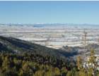
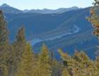
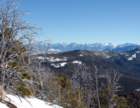
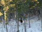
Photos taken during snowshoe hike up Mt. Ellis from the northwest side via Limestone Creek valley, January 19, 2009.
Trailhead elevation: 5300'. Summit elevation: 8300'. One-way trail length: 5.6 miles.
Left trailhead at 10:04AM; on ridge at 12:20PM; VERY soft and heavy snow on west ridge due to warm temperatures; on summit at 1:35PM; left summit 1:55PM; back at ridge by 2:10PM; back at trailhead 4:10PM.
Photo album created with Web Album Generator