
MSU GPS Base Station: NGS CORS Station ID MTSU
You may obtain a specific block of Global Navigation Satellite System (GNSS) data, in Receiver INdependent EXchange (RINEX) format 2.11, for any site in the Continuously Operating Reference Station (CORS) Network.
File Naming:
Each file is named using a MTSUDOYS.DAT format. MTSU is the station ID, DOY is the day of year, S is the hour of the day (A through X) based on GPS time (not local time).
Important note:
Unless the system is experiencing technical difficulties, the last file listed should contain data for the most recent complete GMT hour and the current date. Because your computer may cache and then display an earlier version of the window, it may not show the most recent files available. If the file you seek is more recent than the bottom file in the "ftp" window, the listing can be updated by refreshing the window.
Site Details
Latitude: 45° 39' 40.37689" N
Longitude: 111° 02' 42.00898" W
Height: 1495.496 m
Logging Interval: 5 s
Rollover period: 1 hour
Antenna ht: 0 m
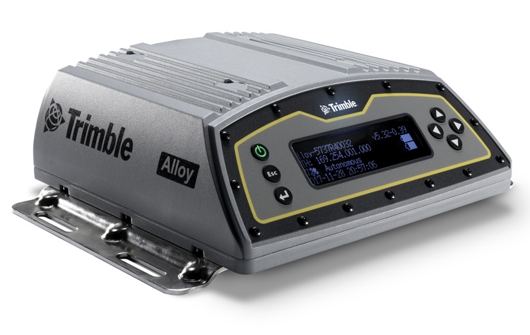
Alloy GPS receiver
Note: this is the official NGS position.