DIRT-Lab: Earth Surface Processes Research
Geomorphology and Geochemistry research led by Dr. Jean Dixon
We study soil DIRT (and other things like dirty streams, dirty plants, dirty ice, and dirty snow).
Earth Surface Research at Montana State University
The goal of DIRTlab is to study the chemical and physical evolution of Earth's soils and surface, using a diverse range of geochemical, remote sensing, geophysical, and field methods. Student and lab-group projects span many subfields of geomorphology, geochemistry, and landscape evolution. A few are described below:
Geomorphic change in permafrost environments |
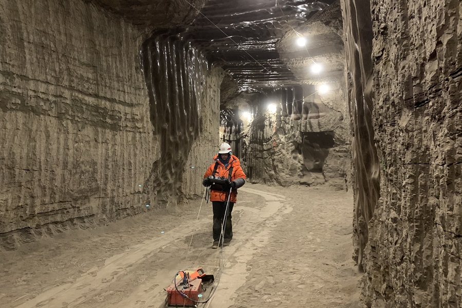 |
High-latitude permafrost soils store over half the belowground terrestrial organic carbon pool and are thawing dramatically in response to recent warming. Though permafrost degradation can drive carbon release, ground instability, and disruption to human and ecological communities, surprisingly little is known about the geomorphic processes that built and modified these systems over millennial timescales. This project, with PhD student Zena Robert and Dr. Stephanie Ewing in the Land Resources and Environmental Science Department, uses novel isotopic tracers of soil erosion, land surface age, and ice residence times to quantify the feedbacks by which permafrost is created, sustained, and transformed.
Controls on sediment movement in fire-dominated landscapes |
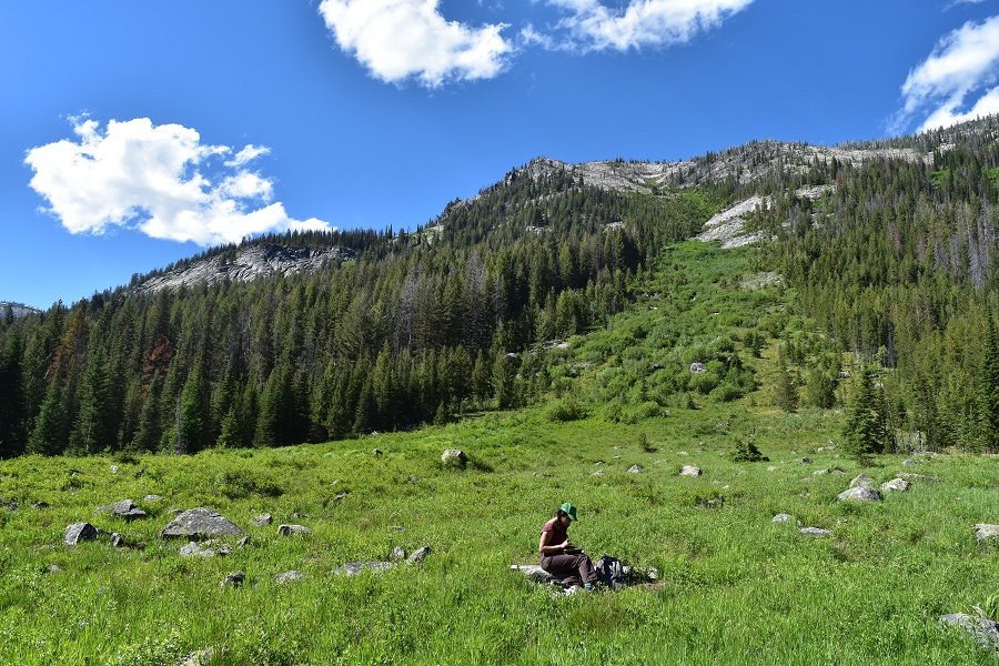 |
The pace, processes, and pathways by which sediment moves across slopes and downstream
through river networks represent the system's sediment connectivity. In this NSF-funded
work in Montana's Bitterroot and Sapphire Mountains, we measure the ways streams and
slopes communicate, and the role of fire and vegetation on sediment storage and erosion
on hillslopes.
The influence of climate and topography on chemical weathering rates |
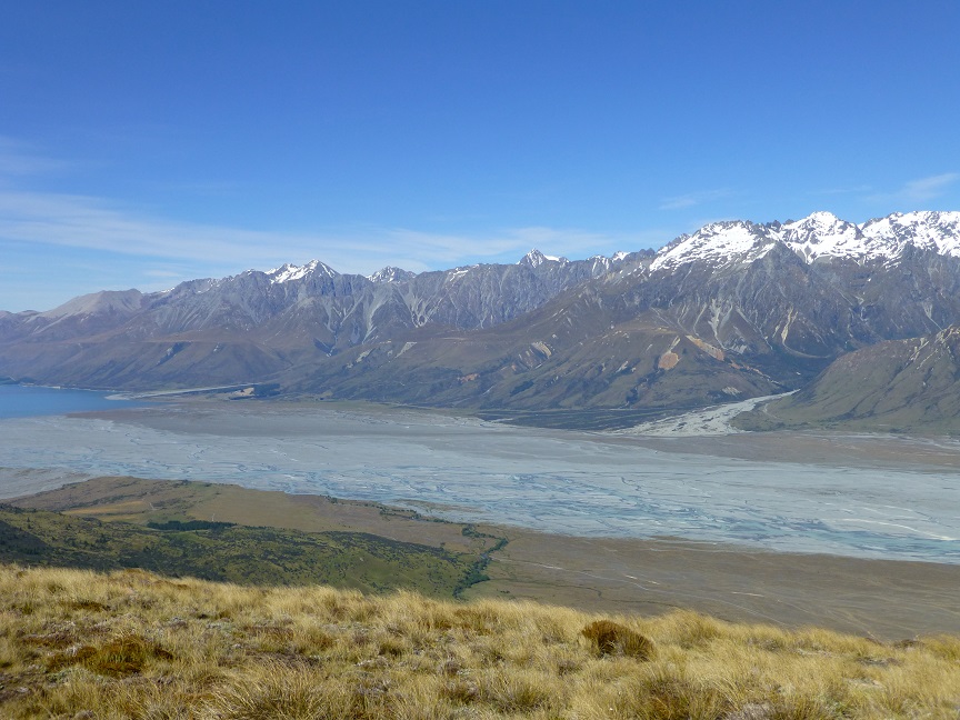 |
Chemical weathering converts bedrock to soil, releases rock-derived nutrients to ecosystems,
sequesters atmospheric carbon dioxide, and plays an integral role in shaping Earth's
surface. Work along the South Island of New Zealand and in the Bitterroot basin of
Montana explores how climate and topography represent fundamental controls on soil
weathering and the exposure of bedrock in mountain systems.
Holocene erosion at the gates of Yellowstone National Park |
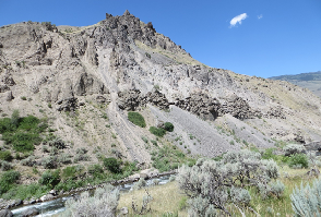 |
Glaciers leave an imprint on the landscape that lasts long after the ice recedes.
This topographic forcing influences the geomorphic processes that alter hillslopes
and rivers, and understanding past change can inform modern hazards. We study the
impact of deglaciation and Holocene environmental change at the northern edge of Yellowstone
National Park, a system where over two million visitors a year traverse dramatic incising
rivers and even active landslides.
Developing isotope proxies of erosional and climatic change |
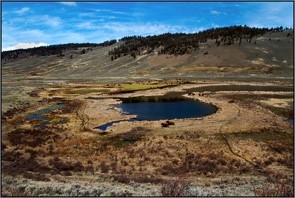 |
Understanding how landscapes evolve under changing climates is critical in this time of extreme environmental change. Paleorecords (such as lake cores) provide insight into how ecosystems and landscapes responded to past climate changes. To this end, we are testing new applications of meteoric Be-10 in lake systems. This cosmogenic isotope is increasingly used to derive soil ages but may also be a powerful proxy of past environmental changes in aridity, precipitation, and dust fluxes. Our project compares this isotope system to other known proxies of environmental and geomorphic change from lake sediments from the Greater Yellowstone Ecosystem.
Research Facilities
In addition to the computing lab and field supply space, we have two major lab facilities at MSU.
- Cosmogenic-Radionuclide (CRN) Preparation Facility
- This facility is used to prepare soil and sediment samples for cosmogenic isotope analysis. These rare isotopes serve as clocks that record the time spent near the surface by Earth materials, and can be used to derive soil or landscape erosion rates that average over thousand-to-million year time scales. This facility includes two processing laboratories, which host acid digestion hoods, laminar flow clean benches, ultrapure water, centrifuges, and high-resolution analytical balances.
- Gamma-Spectroscopy Lab
- This facility includes two high-resolution, broad energy germanium (BEGe) detectors that measure gamma radiation of fallout radionuclides. These isotopes are produced in the atmosphere and deposited at the surface where they can be used to track soil and sediment movement. By measuring their natural radioactivity, we can record soil and sediment processes averaged over the scale of an individual storm event (7Be), a few decades (137Cs), or upwards of a hundred years (210Pb).
Equity and Inclusion
Landscapes are diverse and DIRTlab is dedicated to bringing together scientists with diverse backgrounds, identities, and perspectives to study them. |
 |
Science and academia have played an undisputable role in the institutionalized discrimination of people based on their race, socioeconomic status, gender identity, national origin, disability, and sexual orientation. This discrimination undermines the human rights of people and groups, and, by limiting the diversity of perspectives, restricts scientific advancement. DIRTlab is dedicated to anti-discriminatory teaching and practices. We aim to cultivate an environment where lab members can safely share their needs, ask for help, set boundaries, and work collaboratively. We commit to:
- Constant learning and self-study through workshops, trainings, readings, and shared conversations.
- Developing a shared code of conduct and updating this based on anti-discriminatory practices.
- Identifying risks and challenges (physical and social) for every field experience and making a shared and specific plan to reduce or mitigate these risks.
- Engaging in public outreach with our community.
- Designing teaching and research projects with multiple pathways to success and tools of assessment.
