
Distribution of Ventenata dubia under current and future climate scenarios
Introduction
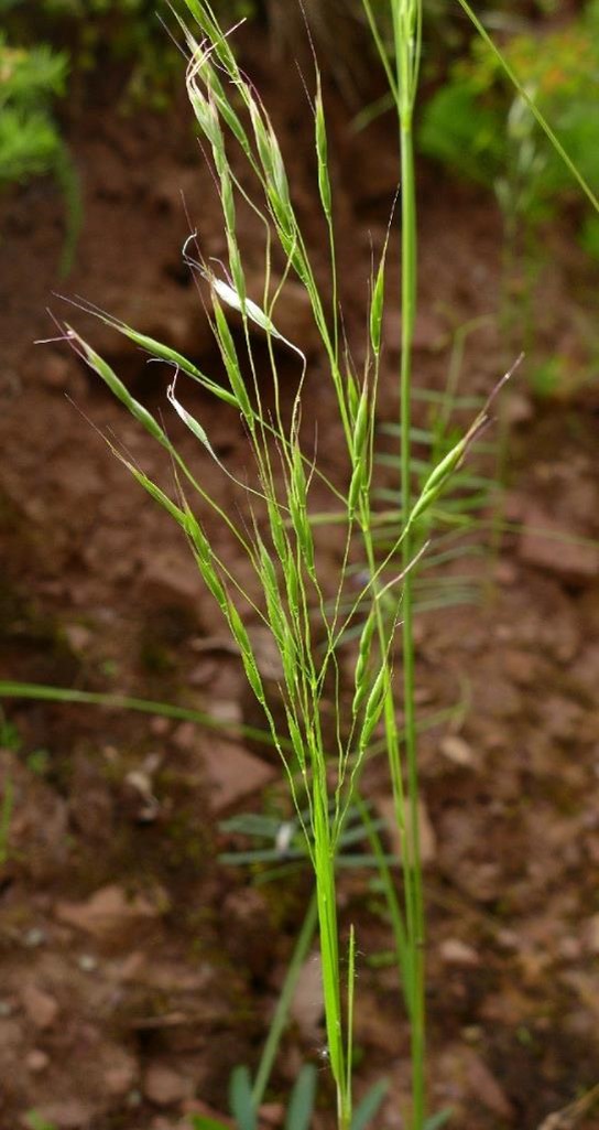
Photo: Jane Mangold, MSU.
Ventenata (Ventenata dubia) is a winter annual grass that has been spreading throughout Montana since the 1990’s. Ventenata infestations have become a growing concern due to potential economic and ecological impacts. The weed most likely spreads by vehicles along roadways and through contaminated hay and seed, but there is limited information about the species habitat range and distribution potential. The goal of this project was to use species distribution modeling to determine the climate and land use requirements of ventenata under current and future climate scenarios.
Methods
The study focused on Gallatin County in southwest Montana, which contains multiple land uses and varying climates. Surveys were taken along 226 miles of road, where the presence or absence of ventenata was tracked over two summers. Ventenata’s known habitat range was compared with historic monthly climate averages that included temperature, precipitation, evapotranspiration, vapor pressure deficit, relative humidity, and solar radiation. Future climate scenarios were projected to the year 2040 with experimental data from the Intergovernmental Panel on Climate Change (IPCC), using medium and high emission scenarios that represent potential increases in atmospheric greenhouse gases and the corresponding increases in temperature. Ventenata’s potential habitat range was evaluated for current and future climate scenarios throughout the entire area of Gallatin County, including along county roads and throughout different land use classifications.
Results
Ventenata distribution was most influenced by average monthly precipitation during spring through July. Twenty percent of Gallatin County road corridors are currently suitable for ventenata. Future projections estimate that roadside suitability will increase by 239% under the medium emission scenario and by 302% under the high emission scenario – thus covering many of the roadsides. The potential range throughout the entire area of Gallatin County was 529 square miles (mi2) under current climates. With future climate conditions, ventenata’s potential range in Gallatin County was projected to increase by 79% (1,203 mi2) under the medium emissions scenario and by 240% (1,803 mi2) under the high emissions scenario. Currently ventenata is found in all land use areas of the county. However, under future climate scenarios, ventenata cover was projected to increase the most across both emission scenarios in agricultural areas (425% and 454%) and grasslands (278% and 442%) (see figure). Read the entire article by Adhikari, Mangold, Mainali, and Rew. This research was supported by a grant from the Montana Noxious Weed Trust Fund.
Further Information
For more information about this month's weed post, contact Extension Invasive Plant Specialist Jane Mangold. Past posts are available in the Monthly Weed Post Directory.
This weed post is also available as a printable PDF (246 KB).