
Spatial Sciences Center
Mission Statement
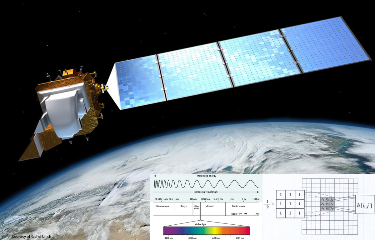
The Spatial Sciences Center's (SSC) mission is to (1) promote and support basic and applied research incorporating geographic information science, remote sensing, global positioning system, and spatial analysis, (2) support and facilitate undergraduate and graduate courses in spatial sciences offered through several departments across MSU, and (3) promote the application of spatial sciences at MSU through outreach to faculty, students, and staff.
   |
Spatial sciences applications available in the 209 Leon Johnson Hall Spatial Sciences Instructional Computer Lab. |
Software Availability and Support for Spatial Sciences
- If you are an MSU student, staff, or faculty and would like access to ESRI's ArcGIS Pro or ArcGIS Online, or other spatial sciences applications for teaching or research, please email [email protected].
- If you are an enrolled MSU student and need access to ESRI's ArcGIS Pro and ArcGIS Online for coursework only, please proceed to the following documents: Instructions to acquire an ArcGIS Online account and how to log in using Single Sign On. Instructions to download, install, and activate ArcGIS Pro. If you need assistance with the readability of the instructions, please email [email protected].
- Note that ArcGIS Online accounts are Disabled when one is no longer enrolled at Montana
State University. If one wishes to transfer content to an ESRI personal account,
please proceed to the following link: https://www.esri.com/en-us/arcgis/products/arcgis-for-personal-use/buy Please reach out to ESRI for support for the personal account.
Announcements:
- SCC resident Mary Farina is awarded a NASA FINESST grant to study different methods to improve monitoring of ecological processes using NASA satellite data. Read more about her NASA grant...
- Apply now for the Montana Space Grant Consortium (MSGC) fall 2020 workshops.
- SSC student Mary Farina was recently selected to receive competitive 3-year award from NASA FINNEST (Future
Investigators in NASA Earth and Space Science) for her project, A multi-scale analysis to address uncertainty in bottom-up estimates of carbon exchange
in Alaska. Congratulations Mary!!
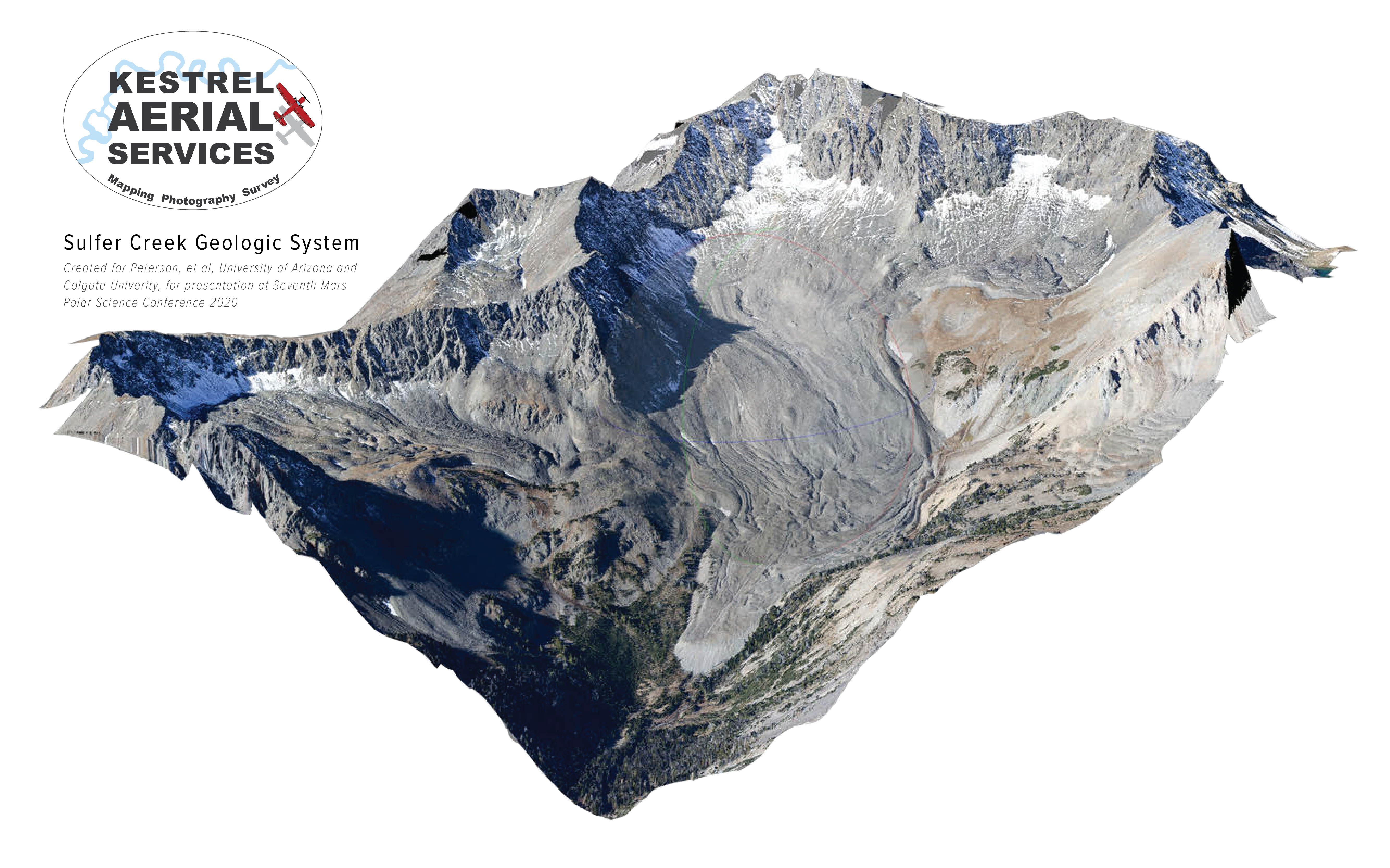 Chris Boyer of Kestrel Aerial Services offers mapping, photography, survey services, as well as an aerial platform adaptable
to various sensors. The services include rapid deployment (typically less than three
days) throughout the Northern Rockies. Kestrel's manned aircraft allows for efficient
coverage of large areas of rugged and remote terrain. Chris is eager to support folks
working on progressive, thought-provoking projects. For more information, please go
to http://kestrelaerial.com/, or contact Chris Boyer (Founder/Pilot) at [email protected], (406) 580-1946.
Chris Boyer of Kestrel Aerial Services offers mapping, photography, survey services, as well as an aerial platform adaptable
to various sensors. The services include rapid deployment (typically less than three
days) throughout the Northern Rockies. Kestrel's manned aircraft allows for efficient
coverage of large areas of rugged and remote terrain. Chris is eager to support folks
working on progressive, thought-provoking projects. For more information, please go
to http://kestrelaerial.com/, or contact Chris Boyer (Founder/Pilot) at [email protected], (406) 580-1946.-
Rick Lawrence receives lifetime achievement award for work in remote sensing!
-
Congratulations to the 2023 MontanaView Remote Sensing Fellowship Winners!
- Montana State University:
- Claire Bresnan (Advisor Scott Creel, Ecology), Collective movement and foraging behavior of plains bison (Bison bison)
- Jack Poole (Advisor Stephanie Ewing, LRES), Patterns of soil moisture delivery and storage in cultivated soils of dryland cereal production systems as a function of residue management
- Montana State University:
-
Spatial Sciences Center research is featured in the Bozeman Daily Chronicle "MSU research group travels to Alaska to examine climate trends."