
Data from a Kite - NASA AEROKATS
About this data-sharing project
This is a pilot project to share live data sets with science teachers and students, so that they may practice data management and visualization skills.
These data sets are part of the NASA AREN project, which uses kites that fly with instruments in order to collect data about our planet Earth. Learn more about AREN at MSU.
If you have feedback, please contact Suzi Taylor at taylor@montana.edu
Kite flight April 22, 2020 - MSU Gatton Field

Download the dataset [.csv file in Google Drive]
If you have trouble downloading, please contact Suzi Taylor
About this mission
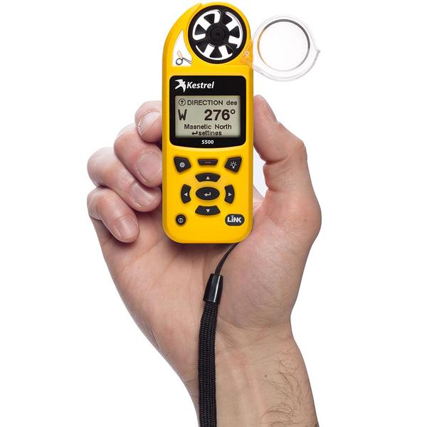
The goal of the mission was to fly the 9-foot Delta Levitation kite with a Kestrel 5500 on an aeropod to gather atmospheric data.
The researcher started the Kestrel while still in her home. The Kestrel gathered data while:
- The researcher rode her bike uphill to MSU
- Assembled the equipment
- Launched the kite
- Launched the aeropod platform holding the Kestrel
- Flew at a few different altitudes
- Landed the kite and instrument platform
- Packed up equipment
- Biked home
About the data
- Data was logged with a Kestrel 550 Weather Meter
- Data was logged continuously every 10 seconds
What can you tell from this data?
Can you tell:
- When the researcher left home? (Note that the outside air temperature was fairly similar to indoor temperature on this particular day)
- How far uphill did the researcher have to bike to the launch site?
- When was the instrument launched and landed? How long was the flight?
Can you see:
- What was the maximum height of the instrument?
- What was the maximum wind speed?
- What were the minimum and maximum temperatures?
- Are there any correlations between wind speed and altitude? Temperature and wind speed? Any other variables?